Pulse Catalogue
A growing suite of solutions, each turning satellite and geospatial data into ready-to-act-on intelligence for your specific sector and challenge.
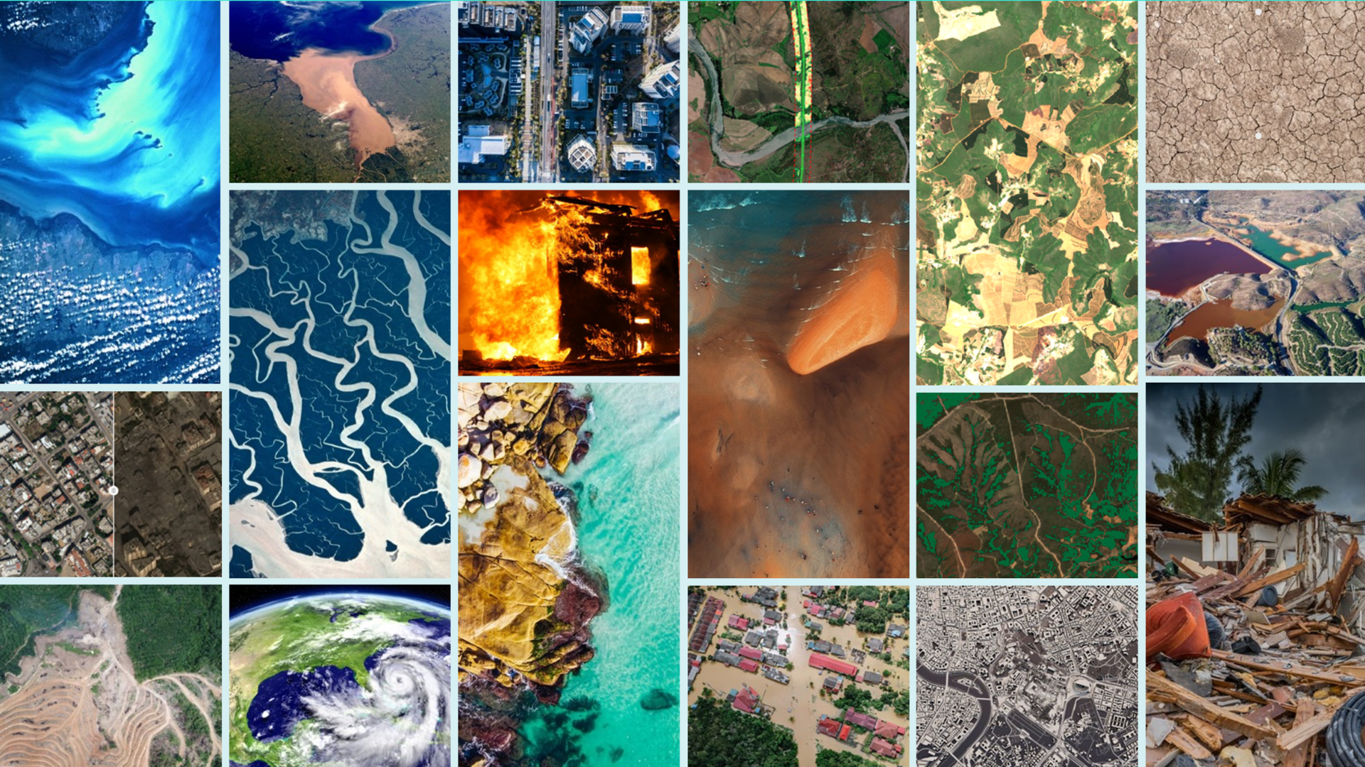
Pulse Catalogue
Explore our Pulses — modular geo-analytics solutions built to help you act, plan and prove outcomes across your sector and industry.
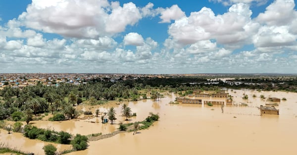
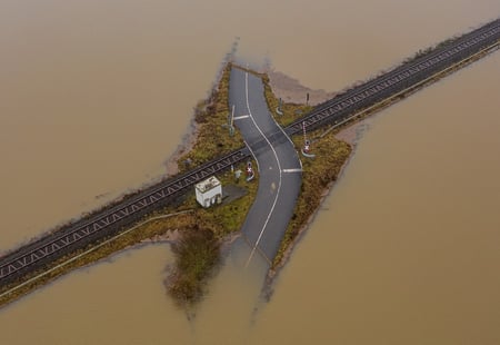
Flood Pulse
To assess flood prone areas and support early warning and long-term resilience planning.
Customer success stories
Get in touch today
Our solutions are designed to integrate seamlessly into your existing workflows, delivering actionable intelligence when you need it most. Whether you're responding to immediate operational challenges, planning strategic initiatives, or proving compliance, we have a solution tailored to your industry and business needs.
What happens next?
-
Schedule a consultation with our industry specialists
-
Explore solutions tailored to your specific challenges
-
Request a demonstration with your own data
-
Receive a customised implementation plan
How It Works
Select the assets
Once you select the area or asset, we customise the solution for you. At this stage, we collect satellite data (like Copernicus), and integrate additional relevant data sources, such as geospatial, economic, weather, or proprietary data.
Data processing via SPAI
SPAI supports data collection and processing by using automated workflows and in-house models, with human-led quality checks to ensure consistent results across sites and time.
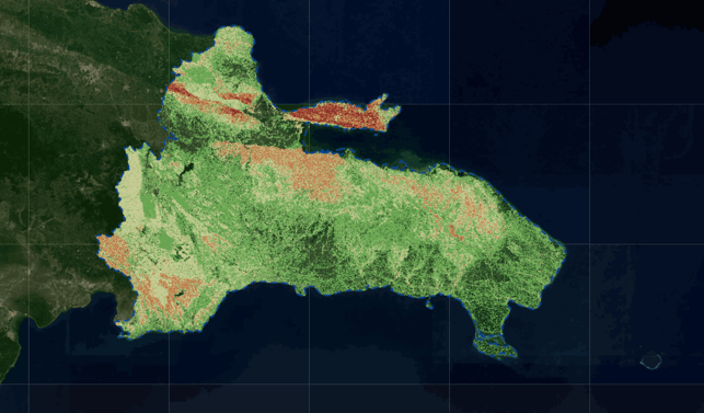
Pulses deliver the insights
The processed data is translated into structured intelligence: indicators, trends, actionable alerts that move you beyond static maps. At this stage you receive precise indicators that pinpoint exactly where to focus your attention to prevent outages or damage.