Strategic Pulses
Our Strategic Pulses are the ready-to-deploy solutions that deliver long-term intelligence to your organisation. Each one is configured to your specific assets, territories, or markets.
Through Earth Observation, climate modelling, terrain analysis, and socio-economic intelligence, we turn long-term data into decisions you can plan with confidence.
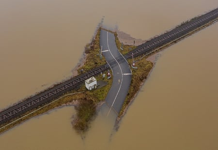
Flood Pulse
To assess flood prone areas and support early warning and long-term resilience planning.

.png?noresize&width=300&height=300&name=Images%20resized%20600%20x%20600%20px%20(5).png)
.png?noresize&width=600&height=394&name=Images%20900x800%20(8).png)

Who is this solution for?
.png?noresize&width=200&height=100&name=financial%20services%20and%20insurance%20image%20(1).png)
Managers assessing physical climate risk across asset portfolios, refining underwriting models with location-specific environmental data, and stress-testing long-term exposure to extreme climate events, such as flood and drought.
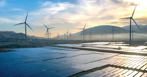
Developers identifying optimal locations for new infrastructure — solar, wind, or grid expansion — by modeling terrain, climate conditions, and environmental constraints at scale before committing capital.

Team evaluating the long-term viability of infrastructure, real estate, or energy investments by understanding how climate, land use, and environmental conditions will evolve across sites and territories over time.

Agencies and teams responsible for early warning systems, disaster preparedness, and the resilience of critical national infrastructure.
Case study: Geo-localising road risk at a scale
Earthpulse partnered with a leading digital insurer to strengthen its road risk models by integrating large-scale geospatial intelligence across multiple European markets.
%20(2).png?noresize&width=500&height=300&name=AI%20Processing%20(1000%20x%20600%20px)%20(2).png)
Case study: Planning beyond the present
Earthpulse models long-term scenarios – such as environmental or climate risk exposure across regions and assets – by combining historical satellite data, predictive climate scenarios, and in-house risk models.
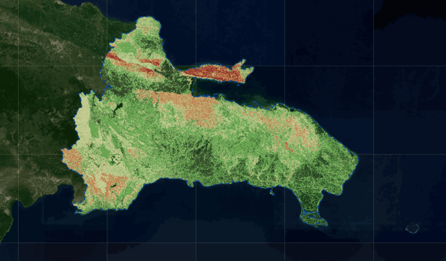
Through the ESA GDA programme and in collaboration with the World Bank, Earthpulse developed the first unified, evidence-based hydrometeorological risk framework for the Dominican Republic.
Strategic Intelligence in practice
From long-term risk modelling to opportunity mapping — here is what your organisation can do with Strategic Intelligence.
Anticipate emerging risks
Model how climate, environmental, and physical risks will evolve across your assets and territories — from long-term water stress and drought scenarios to landslide exposure and supply chain disruption. See it in practice
Discover hidden value
Identify optimal locations for new energy investments, solar installations, or market expansion — and reduce unplanned expenses by up to 50% through evidence-backed site selection.
Ensure sustainability compliance
Access science-backed geospatial data to support ESG commitments, sustainable sourcing decisions, and long-term environmental performance across your portfolio.
.png?noresize&width=600&height=400&name=Other%20images%20for%20website%20(2).png)