INPUTS
Satellite + Contextual Data
Multi-source EO, in-situ and third-party data
Earthpulse ofereix geoanalítica util per a qualsevol organització que gestioni infraestructures o actius crítics.
Amb SPAI, el nostre motor de geoanàlisi, convertim dades brutes d'observació de la Terra en solucions llestes per desplegar —Pulses— perquè els vostres equips puguin actuar amb precisió, planificar amb confiança i demostrar el compliment amb evidències traçables.
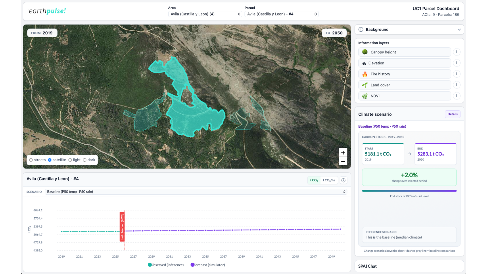
Your teams get insights they can actually act on and use immediately — no technical expertise needed. Fully informed intelligence, not just raw data.
Built for replication, we scale a solutions across your entire asset portfolio and activate new areas in hours, not months.
Our solutions provides you with the long-term insight for the decisions that matter most. From scenario simulation to trend analysis, our solutions can help you see both emerging risks and untapped opportunities.
Satellite + Contextual Data
Multi-source EO, in-situ and third-party data
AI models + Indicators
SPAI-powered models produce trusted indicators
Maps + Alerts + Reports
Actionable insights delivered in the workflow you use
Act / Plan / Prove
Make decisions, plan with confidence and prove outcomes
We turn raw data into clear, usable insights — updated continuously, ready to act on.
Every Pulse is built around what your organisation actually needs: foresight on potential risks, operational intelligence to act faster on issues and mitigate impact, or audit-ready reports for compliance.
The risks that matter most to your organisation often take years to materialise — and even longer to reverse.
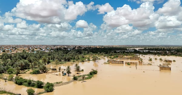
We provide the long-term, aggregated intelligence you need to anticipate them: from forecasting droughts and resource scarcity to quantifying the impact of extreme weather events.
Our solutions enable scenario simulation, trend analysis, and evidence-backed strategy — supporting investment decisions, risk planning and policy design.
Risks move faster than traditional monitoring allows.
Designed for the decisions your teams face every day, our solutions support continuous monitoring, targeted alerts, and rapid response — helping you detect changes early, prioritise action, and reduce operational disruption.
We make compliance processes easier for you.
We deliver compliance reports built on traceable spatial evidence. From regulatory screening to structured documentation, we replace manual evidence gathering with clear, verifiable geospatial proof — supporting regulatory reporting, due diligence, and ESG disclosure.
We provide the long-term, aggregated intelligence you need to anticipate them: from forecasting droughts and resource scarcity to quantifying the impact of extreme weather events.
Our solutions enable scenario simulation, trend analysis, and evidence-backed strategy — supporting investment decisions, risk planning and policy design.
Cada Pulse es construeix a partir del que la vostra organització necessita realment: previsió dels riscos potencials, intel·ligència operativa per actuar més ràpidament davant els problemes i mitigar-ne l'impacte, o informes a punt per auditar per al compliment.
Els riscos que més importen a la vostra organització sovint triguen anys a materialitzar-se —i encara més a revertir-se.
Us proporcionem la intel·ligència agregada i a llarg termini que necessiteu per anticipar-los: des de la previsió de sequeres i escassetat de recursos fins a la quantificació de l'impacte de fenòmens meteorològics extrems.
Les nostres solucions permeten la simulació d'escenaris, l'anàlisi de tendències i l'estratègia basada en evidències —donant suport a les decisions d'inversió, la planificació de riscos i el disseny de polítiques.
Els riscos es mouen més ràpid del que permet el seguiment tradicional.
Dissenyades per a les decisions que els vostres equips afronten cada dia, les nostres solucions donen suport al seguiment continu, les alertes específiques i la resposta ràpida —ajudant-vos a detectar canvis aviat, prioritzar l'acció i reduir les interrupcions operatives.
Us facilitem els processos de compliment.
Lliurem informes de compliment basats en evidències espacials traçables. Des del cribratge normatiu fins a la documentació estructurada, substituïm la recollida manual d'evidències per proves geoespacials clares i verificables —donant suport a la presentació d'informes normatius, la diligència deguda i la divulgació ESG.
We provide near-real-time operational intelligence — designed for the decisions your teams face every day.
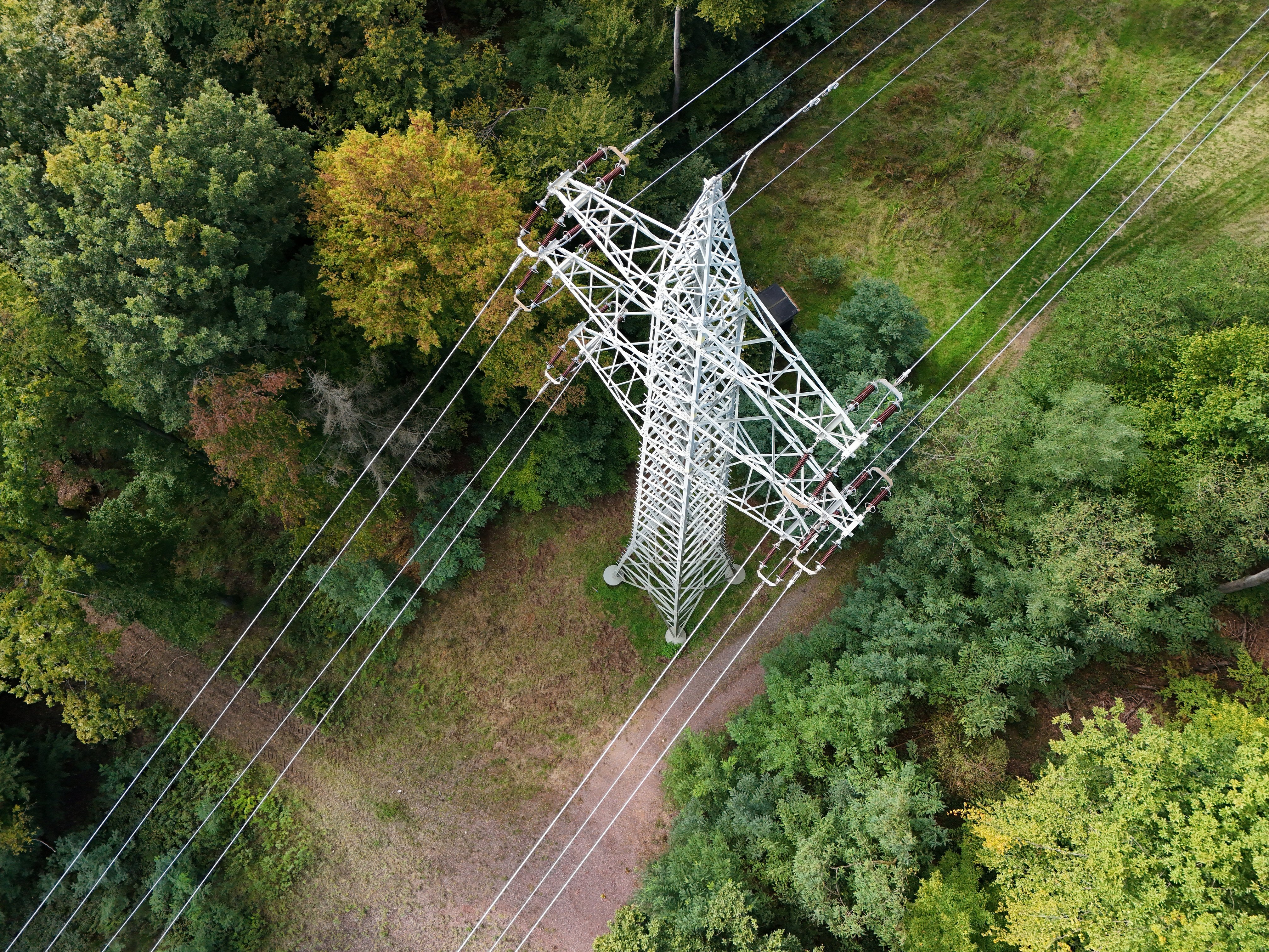
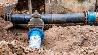
From detecting vegetation encroachment near power lines to identifying vulnerabilities in water distribution networks, our solutions support continuous monitoring, targeted alerts, and rapid response — helping you detect changes early, prioritise action, and reduce operational disruption.
We deliver compliance reports built on traceable spatial evidence. From regulatory screening to structured documentation, we replace manual evidence gathering with clear, verifiable geospatial proof — supporting regulatory reporting, due diligence, and ESG disclosure.
Els nostres Pulses estan preconstruïts i estructurats, però configurats per a la vostra àrea, els vostres actius o la vostra xarxa específica.
Cada Pulse es pot construir per abordar un repte operatiu, estratègic o de compliment concret.
Descobriu quins reptes podríeu abordar amb les nostres solucions.
Working with Earthpulse has felt like adding another member to our own team. Everything has flowed naturally and efficiently—together we’ve developed a solution that represents a real milestone for the water sector.
This tool enables treatment systems to ensure the high quality of the water supplied.
It’s the engine that processes data, runs our AI algorithms, and scales your solutions inside your existing workflows.
SPAI helps you monitor change, manage uncertainty, and scale insights across assets, territories, and time — with rigour, transparency, and governance built in.
Earthpulse helps organisations make better informed decisions by transforming complex Earth Observation data into ready-to-use intelligence through a simple three‑step process. No GIS, technical expertise or specific knowledge required.
Select the solution, choose the area, the assets or networks of interest - we customise and activate the Pulse.
Via SPAI, we collect satellite data, plus other types of data - such as socio-economic and demographic data, traffic and metereological data.
We start processing the collected satellite data and combine it with all relevant data in SPAI to build the solution.
We deliver intelligence via SPAI. You get interactive maps, KPI dashboards, automated alerts, API endpoints and much more. At this stage you can integrate into your workflow.
Select the solution, choose the area, the assets or networks of interest - we customise and activate the Pulse.
Via SPAI, we collect satellite data, plus other types of data - such as socio-economic and demographic data, traffic and metereological data.
We start processing the collected satellite data and combine it with all relevant data in SPAI to build the solution.
We deliver intelligence via SPAI. You get interactive maps, KPI dashboards, automated alerts, API endpoints and much more. At this stage you can integrate into your workflow.
Our solutions - Pulses -deliver intelligence in the format your teams can act on.
Earthpulse helps organisations make better informed decisions by transforming complex Earth Observation data into ready-to-use intelligence. No GIS, technical expertise or specific knowledge required.
Your teams get insights they can actually act on and use immediately — no technical expertise needed. Fully informed intelligence, not just raw data.
Built for replication, we scale a solutions across your entire asset portfolio and activate new areas in hours, not months.
Our solutions provides you with the long-term insight for the decisions that matter most. From scenario simulation to trend analysis, our solutions can help you see both emerging risks and untapped opportunities.
Earthpulse ajuda les organitzacions a prendre decisions més ben informades transformant dades complexes d'observació de la Terra en intel·ligència llesta per utilitzar. No calen SIG, coneixements tècnics ni coneixements específics.
Els vostres equips obtenen coneixements sobre els quals poden actuar realment i utilitzar de seguida —sense necessitat de coneixements tècnics. Intel·ligència completa, no només dades brutes.
Pensades per a la replicació, escalem una solució a tota la vostra cartera d'actius i activem noves àrees en hores, no mesos.
Les nostres solucions us proporcionen el coneixement a llarg termini per a les decisions que més importen. Des de la simulació d'escenaris fins a l'anàlisi de tendències, les nostres solucions us poden ajudar a veure tant els riscos emergents com les oportunitats sense explotar.
If you are managing critical infrastructure or assets, get in touch to see how we can help you anticipate today’s risks and discover tomorrow’s value.