Pulses, our custom solutions
Structured geo-analytics intelligence, configured to your assets and delivered ready to act on.
What is a Pulse?
Pulses are Earthpulse's ready-to-deploy geo-analytics solutions
Our solutions turn Earth Observation and geospatial data into structured intelligence — so your teams can respond to risks today, plan for tomorrow, and prove compliance with confidence.
How do we build Pulses?
We combine multiple layers of data to build each Pulse.
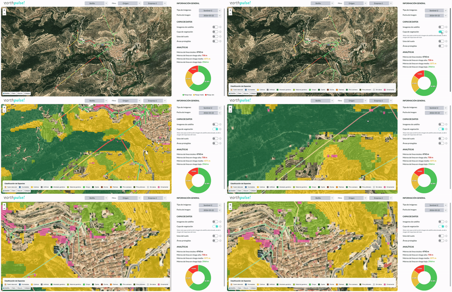
From satellite imagery and terrain information to meteorological, socio-economic, and infrastructure information, we then combine these layers of data into curated indicators that tell you what's changing, where, and why it matters.
Clear, explainable intelligence, updated in near real time, with frequency guarantees and full traceability.
-1.svg?noresize)
What every Pulse delivers
Clients receive tailored decision-ready insights so they can confidently take the decisions to their most pressing issues.
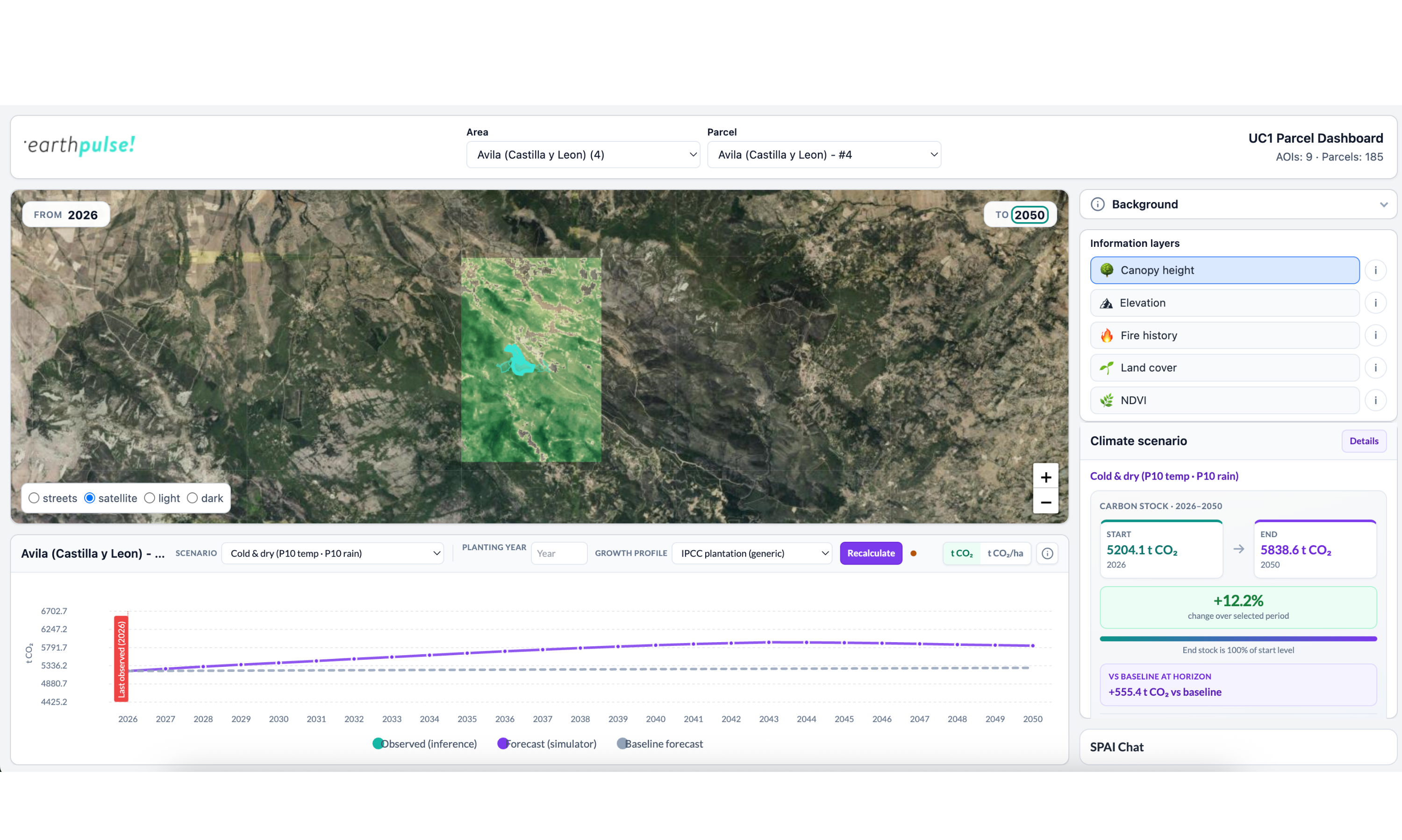
Every Pulse delivers structured outputs teams can act on immediately — interactive maps, KPI dashboards, automated alerts, and API integrations that tell what triggered the signal, where it occurred, and what to do next.
Every output comes with complete traceability — documented data sources, model logic, version control, and audit trails — so our intelligence is always explainable and defensible.
%203.svg?noresize)
Pulse Library
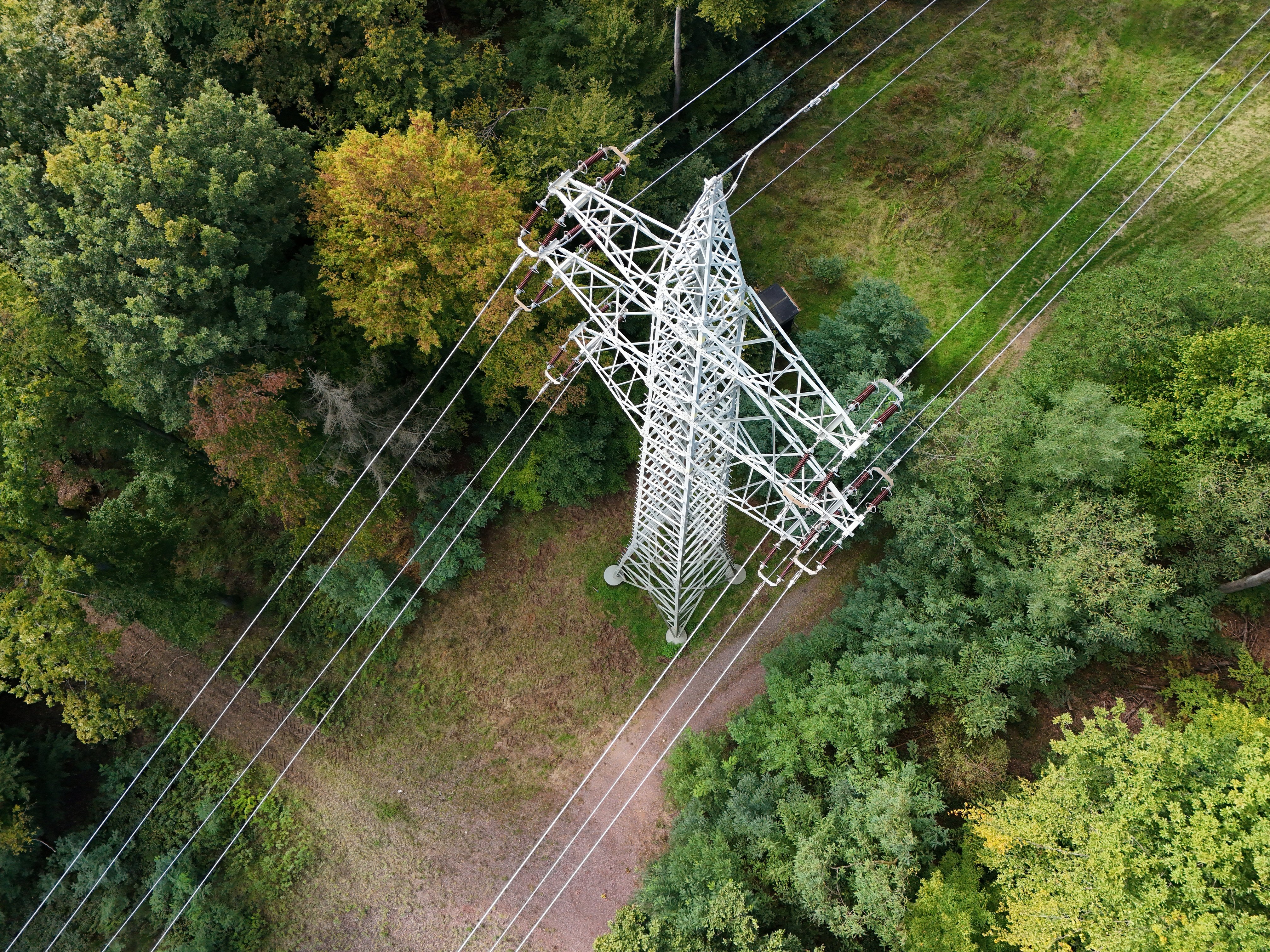
%20(2).png?noresize&width=500&height=300&name=AI%20Processing%20(1000%20x%20600%20px)%20(2).png)


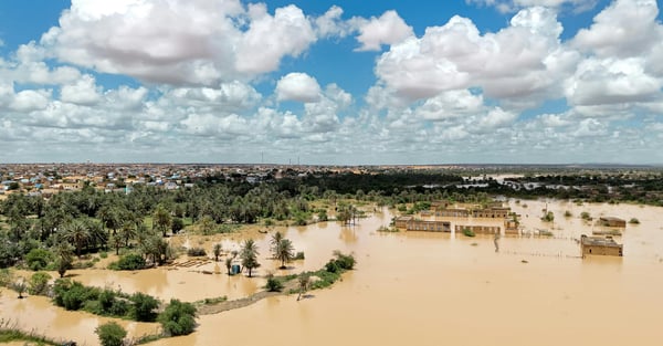
Flood Pulse
To assess flood prone areas and support early warning and long-term resilience planning.
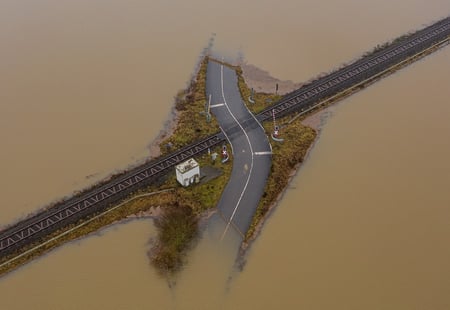
Customer Stories
Read our case studies to discover how Pulses can help you anticipate risks and discover hidden value.
%20(3).png?noresize&width=500&height=300&name=AI%20Processing%20(1000%20x%20600%20px)%20(3).png)
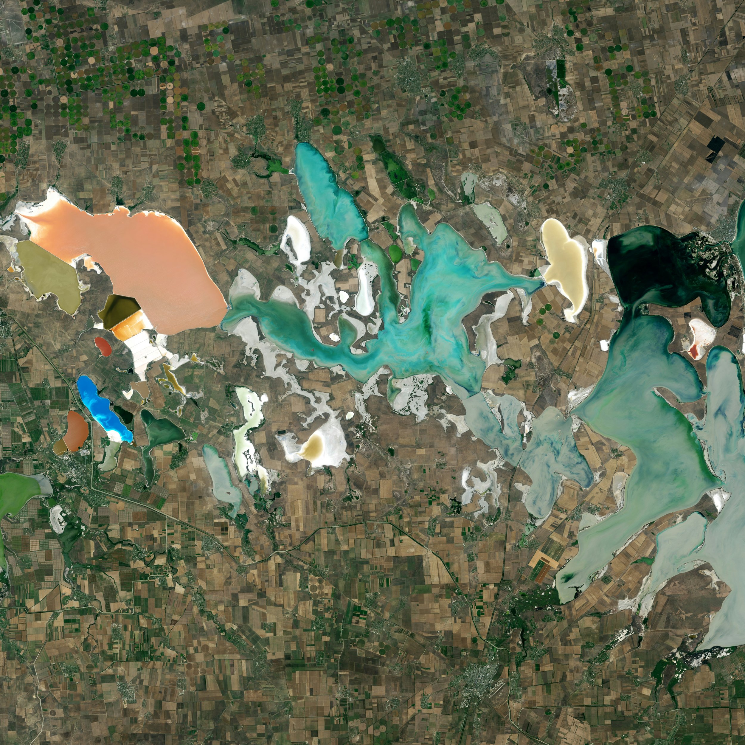

Make decisions faster
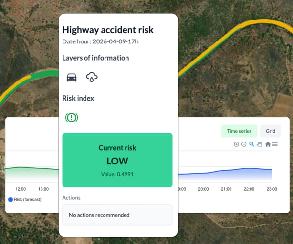
Each Pulse delivers a structured, decision-ready output. Risk indexes shows a current risk index for a specific segment at a given hour, combining data layers into a single, actionable indicator. The time series chart tracks how risk evolves across the day, so operators know exactly when and where to intervene.