Operational Intelligence
Turn Earth Observation data into decisions your operations teams can act on today.
Earth Observation data holds enormous potential for organisations managing critical infrastructure — utilities, telecoms, and transport operators — but in its raw form, it's fragmented, technically complex, and locked behind specialist expertise most teams don't have.
Earthpulse bridges that gap.
We transform Earth Observation data into clear, automated intelligence that integrates directly into your existing workflows — so your operations teams can monitor conditions continuously, act on risks early, and make confident decisions without needing a geospatial expert in the room.

From Detection to Action
-
point_scanpoint_scan
Detect
Our tools help you detect risks in your day-to-day operations. We transform complex Earth observation data into clear risk information, highlighting where attention is needed before small issues become operational disruptions.
-
priority_highpriority_high
Prioritise
Our monitoring solutions help you prioritise so you can detect critical areas faster. We translate risks into ranked, location-specific priorities — so your teams know where to intervene first, based on severity, exposure, and operational impact.
-
task_alttask_alt
Validate
Validate insights on the ground by cross-checking satellite-derived indicators with targeted field inspections — reducing uncertainty before operational deployment.
-
arrow_right_altarrow_right_alt
Act
With this insight, you can direct targeted operations to areas that need it most. Deploy targeted interventions where risk and impact are highest — optimising resources while reducing operational disruption.
Who is this solution for?
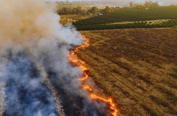
Operators managing power lines, pipelines, and distribution networks across wide territories — where vegetation, weather, and environmental conditions create constant, hard-to-monitor risk.
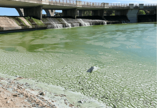
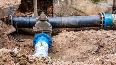
Managers overseeing distribution networks, treatment facilities, and pipeline corridors — where environmental conditions, ground movement, and vegetation growth create vulnerability risks that are costly to inspect manually and difficult to monitor at scale.
Operators overseeing roads, railways, and supply routes where surface conditions, flooding, or vegetation obstruction can cause costly delays and safety incidents.
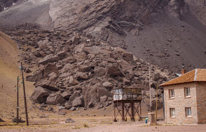
Agencies and teams responsible for early warning systems, disaster preparedness, and the resilience of critical national infrastructure.
Operational Pulses
Operational Pulses continuously monitor your assets, detect emerging risks, and turn complex geospatial data into clear, prioritised actions — so your teams can act before disruption strikes and operate with confidence.
All Pulses are powered by SPAI, our geo-analytics engine.
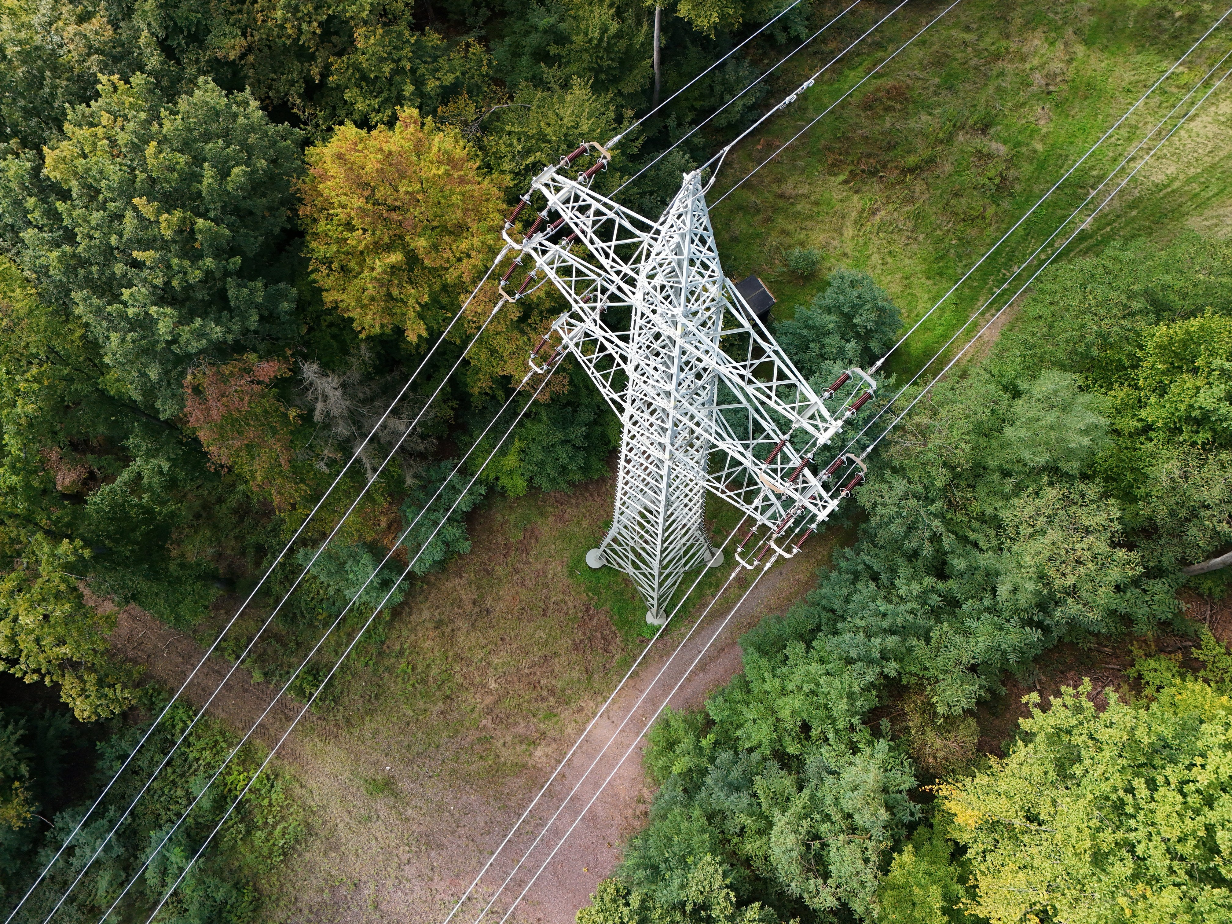
Case study: from interference to control
Vegetation growth is a silent risk to critical infrastructure — increasing the likelihood of outages, fire events, and costly service disruptions.
Our Vegetation Interference Pulse continuously monitors asset corridors and surrounding biomass. With the option to receive alerts, operators from utilities, telecom and transport sector can find out on near real time when vegetation risk crosses critical thresholds.
Instead of reacting to damage, teams can intervene earlier — preventing incidents, reducing emergency repair costs, and strengthening long-term operational resilience.
Built for real world operations
Operationally proven
Our Operational solutions are built on validated models and automated workflows designed for real-world challenges. We combine scientific rigour with production-grade engineering to deliver reliable intelligence where delays and errors are not an option.
Integrated into your operations
Our solutions connect directly to your existing systems and tools — API-first, automation-ready, and deployable on your terms. You maintain full control over your data and models while gaining intelligence that works inside your daily operations.
Built for action at scale
We design tools that help you set and scale timely intervention across sites, regions, and countries. By turning complex geospatial data into structured, operational insight, our Pulses scale just in hours, helping teams act earlier, allocate resources smarter, and manage risk consistently wherever they operate.
Get in touch today
What happens next?
- Schedule a consultation with our industry specialists
- Explore solutions tailored to your specific challenges
- Request a demonstration with your own data
- Receive a customised implementation plan
Insights
Read our blogs and case studies to discover how organisations are using our solutions to anticipate risks, ensure compliance, and unlock value.