Flood Pulse
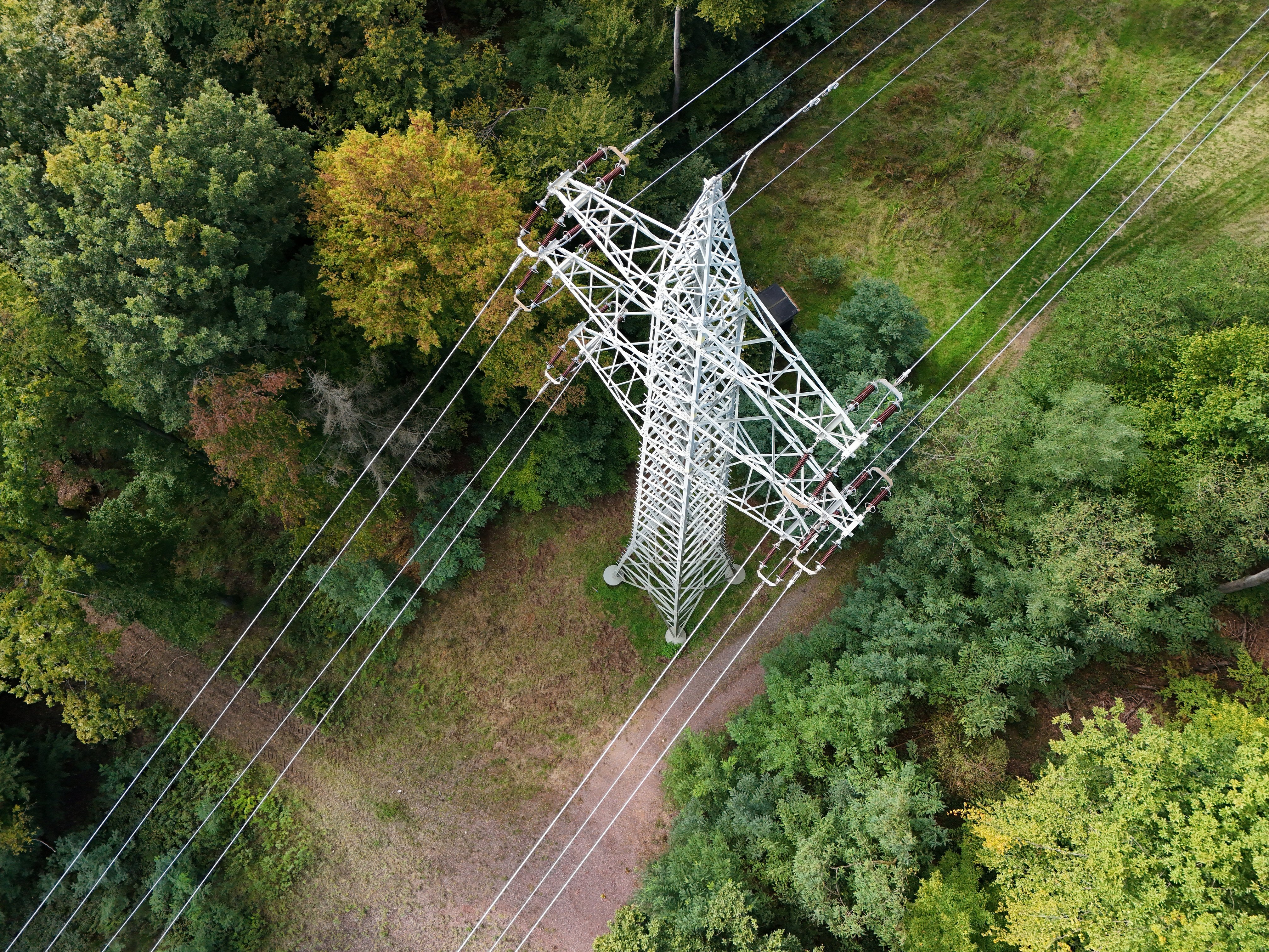
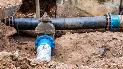
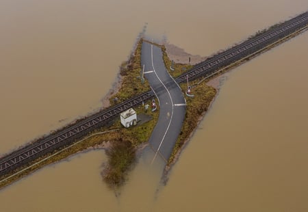
Spatial assessment of flood exposure helps operators see where risk is building across their assets and networks — prioritising adaptation investment, strengthening early warning and reducing impact.
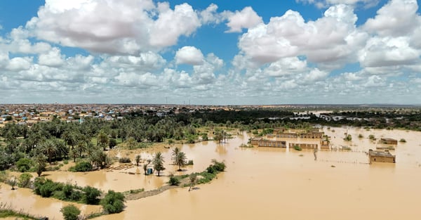
Assess flood prone areas, support early warning system and help plan for long-term resilience.
Discover how Civil Protection teams, Emergency Services and Asset Operators could use the Flood Pulse to prioritise adaptation investment, strengthen early warning strategies and reduce flood impact.
Trusted by
Early warning for flood-prone areas
Climate change affects frequency and impact of extreme weather events. Traditional risk assessments are costly and rely on fragmented datasets, manual analysis, and static reports.
Our AI powered models support the development of an Early Warning Systems to help identify high-risk areas, especially around drainage points, urban infrastructure and vulnerable assets.
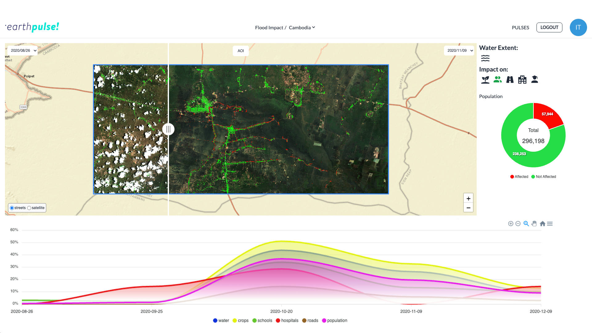
Climate resilience planning
Organisations must understand not only where future impacts are most likely, but also how events affect specific assets in real time.
Our Flood Pulse helps you assess flood exposure across territories, networks or countries to prioritise where adaptation investments are most needed. Earthpulse provides you with timely, granular insight to help you build a resilience planning and decide on capital allocation.
What-if adaptation scenarios
Simulate mitigation and adaptation actions to estimate how flood risk could decrease for specific assets or areas.
The Flood Pulse integrates forward-looking risk modelling with near real-time event monitoring, giving organisations clear visibility of where exposure is highest and how it evolves.
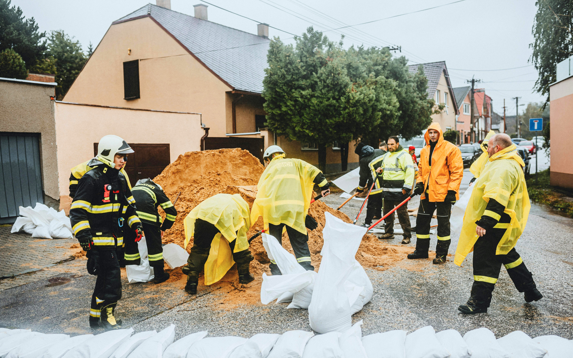
What are the benefits of our solution:
|
24–72h early warning window depending on weather and hydrological inputs. |
Historical flood analysis: understand how flood patterns have evolved over time to improve long-term forecasting and adaptation strategy. |
Faster post-event assessment: map flood extent and affected areas quickly after an event to prioritise response and recovery. |
Planning beyond the present
Earthpulse models long-term scenarios: from environmental to climate risk exposure across regions and assets by combining historical satellite data, predictive climate scenarios, and in-house risk models.
Through the ESA GDA programme and in collaboration with the World Bank, Earthpulse developed the first unified, evidence-based hydrometeorological risk framework for the Dominican Republic.
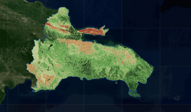
Key outcome
This solution lets you prioritise assets and regions for resilience planning and investment.
Proactive risk management
Identify vulnerable assets before climate impacts escalate by combining hazard modelling with exposure analysis of infrastructure, supply chains, land, and communities.
Rapid impact assessment
This Pulse enables early prioritisation, targeted adaptation measures, and smarter long-term risk management. Quantify damage within hours of an event, not days.
Strategic adaptation planning
Turn climate exposure data into forward-looking investment intelligence. Compare scenarios, prioritise infrastructure upgrades, optimise asset allocation, and align resilience spending with measurable risk reduction across regions and portfolios.
How It Works
Select the assets
Once you select the area or asset, we customise the solution for you. At this stage, we collect satellite data (like Copernicus), and integrate additional relevant data sources, such as geospatial, economic, weather, or proprietary data.
Data processing via SPAI
SPAI supports data collection and processing by using automated workflows and in-house models, with human-led quality checks to ensure consistent results across sites and time.
Pulses deliver the insights
The processed data is translated into structured intelligence: indicators, trends, actionable alerts that move you beyond static maps. At this stage you receive precise indicators that pinpoint exactly where to focus your attention to prevent outages or damage.
You may also be interested in our other solutions...
Find out what operational risks you could address with our Pulses.
Building pulses
We build our solutions with your needs at the centre.
-
compare_arrowscompare_arrows
Operationally proven
Our Operational solutions are built on validated models and automated workflows designed for real-world challenges. We combine scientific rigour with production-grade engineering to deliver reliable intelligence where delays and errors are not an option.
-
all_inclusiveall_inclusive
Integrated into your operations
Our solutions plug directly into your existing systems and workflows — API-first, automation-ready, and deployable on your terms. You maintain full control over your data and models while gaining intelligence that works inside your daily operations.
-
checkcheck
Built for action at scale
We design tools that help you set scale timely intervention across sites, regions, and countries. By turning complex geospatial data into structured, operational insight, our Pulses scale just in hours, helping teams act earlier, allocate resources smarter, and manage risk consistently wherever they operate.
Get in touch today
Our solutions are designed to integrate seamlessly into your existing workflows, delivering actionable intelligence when you need it most. Whether you're responding to immediate operational challenges, planning strategic initiatives, or proving compliance, we have a solution tailored to your industry and business needs.
What happens next?
-
Schedule a consultation with our industry specialists
-
Explore solutions tailored to your specific challenges
-
Request a demonstration with your own data
-
Receive a customised implementation plan