Skip to content

Water Stress Pulse

Satellite geo-analytics can address converging risks on water demand. From water scarcity to climate risks, we help water utilities, governments, and infrastructure operators respond to converging pressures.

Lake now desertified

Monitor drought signals and assess the impact on assets and any supply chain.

Uncover how our satellite-based integrated approach can help you mitigate and limit risks to agriculture, livestock, food security and water-dependent businesses. 

Trusted by

  • EUSPA_Logo
  • telefonica-logo-0-1
  • loreal
  • Repsol_logo.svg
  • ESA_logo.svg
  • TECH-BARCELONA-MARCA-02-4c3ad4bd
  • Hispasat_logo_2022.svg
  • idrica
  • logo-aenor-web-med

What-if planting strategies

Drought risk affects agriculture, livestock, food security, and water-dependent businesses, but decisions are often based on fragmented, delayed, or spatially limited indicators. Organisations need better future-proof tools.

Our solution enables producers to simulate planting scenarios and compare drought exposure under different crop, timing or management strategies.
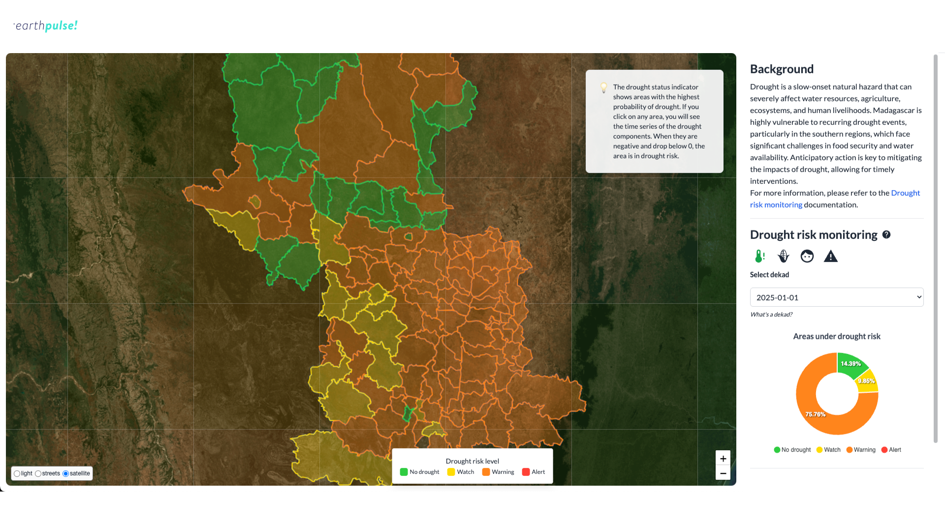
Drought risk monitoring for Anticipatory Humanitarian Action

Anticipatory re-insurance

The current annual cost of drought globally mounts to $307B and 3 in 4 people worldwide could face drought impacts by 2050. The impact on local families, their livelihoods and businesses is huge.

We help re-insurers anticipate severe drought impacts on crops, livestock and food security, supporting earlier payout strategies.

drought from space

Water-dependent business planning

Water-dependent business decisions are often based on fragmented, delayed, or spatially limited indicators. Without integrated visibility over water and vegetation stress, soil moisture, and climate trends, it is difficult to anticipate impacts early enough to act, or to plan effectively for future scenarios.

We support those companies whose products or markets depend on water availability by identifying areas exposed to drought and water stress.
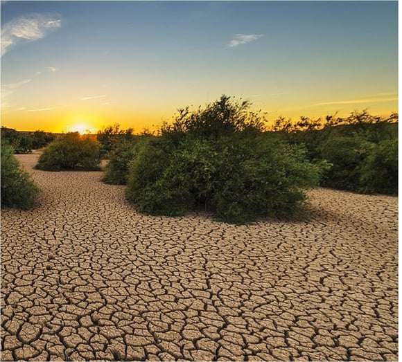
Drought and plants

How It Works

What are the benefits of our solution:

Historical trend analysis: understand how water stress has evolved over time to improve long-term forecasting and adaptation strategy.

Regulatory and reporting support: provide evidence for water-use compliance, environmental reporting and stakeholder disclosures.

1–6 month early-warning window for drought and vegetation stress.


Building pulses

We build our solutions with your needs at the centre. 
  • compare_arrows
    compare_arrows

    Operationally proven

    Our Operational solutions are built on validated models and automated workflows designed for real-world challenges. We combine scientific rigour with production-grade engineering to deliver reliable intelligence where delays and errors are not an option.

  • all_inclusive
    all_inclusive

    Integrated into your operations

    Our solutions plug directly into your existing systems and workflows — API-first, automation-ready, and deployable on your terms. You maintain full control over your data and models while gaining intelligence that works inside your daily operations.

  • check
    check

    Built for action at scale

    We design tools that help you set scale timely intervention across sites, regions, and countries. By turning complex geospatial data into structured, operational insight, our Pulses scale just in hours, helping teams act earlier, allocate resources smarter, and manage risk consistently wherever they operate.

Get in touch today

Our solutions are designed to integrate seamlessly into your existing workflows, delivering actionable intelligence when you need it most. Whether you're responding to immediate operational challenges, planning strategic initiatives, or proving compliance, we have a solution tailored to your industry and business needs.

What happens next?

  • Schedule a consultation with our industry specialists

  • Explore solutions tailored to your specific challenges

  • Request a demonstration with your own data

  • Receive a customised implementation plan